Bear Maps

Project Overview
- Duration: April 2018 (1 month)
- My role: Sole contributor
- Tools & Frameworks: Java, Apache Maven, OpenStreetMap
Motivation
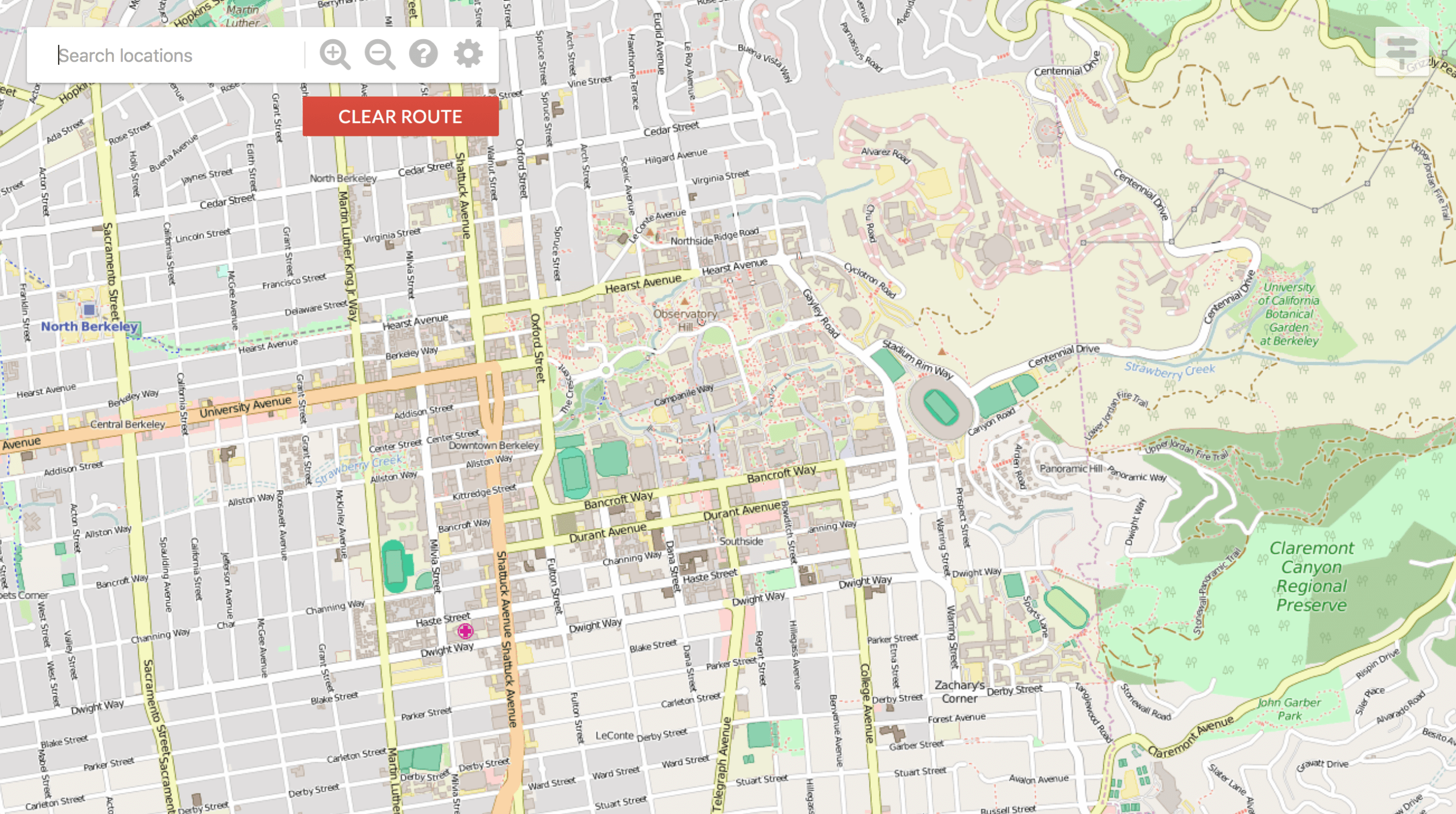
For my final project in UC Berkeley's CS 61B Data Structures class I implemented the backend for a web server that mimics Google Maps. A user will initially open an HTML file in their browser that displays a map of Berkeley, and the interface that I wrote will support necessary actions for the user such as scrolling, zooming, and route finding. I utilized OpenStreetMap for obtaining the necessary images at different zoom levels to raster the map and also to load in the necessary street data which was then represented as a graph. Then, the user could click any two points on the map, and it would output the shortest distance directions on how to get between the two points utilizing the A* graph search algorithm.